Could Dense Transit Areas Backfire and Worsen Traffic?
Analysis reveals 6 key thematic connections.
Key Findings
Induced Demand
Higher urban density near transit hubs increases the total volume of trips across all modes, which overwhelms existing street infrastructure even as car ownership declines; this occurs because more people and activities concentrated in one area generate more movement overall, and streets designed for lower intensities cannot absorb the cumulative flows of pedestrians, cyclists, rideshares, and delivery vehicles. The effect is most visible at street level where sidewalks narrow, crosswalks clog, and curb space becomes contested, making congestion feel worse despite fewer private cars. What is underappreciated in public discussion is that reduced car use does not equate to reduced street demand, and the intuitive link between lower car numbers and easier traffic flow ignores how density multiplies non-car movement that still competes for the same physical space.
Curb Competition
As urban density rises around transit nodes, commercial and service vehicles increasingly compete for limited curb access to deliver goods, drop off rideshare passengers, and service restaurants and residences, leading to double-parking, blocked bike lanes, and idling vehicles that disrupt traffic flow. This dynamic emerges because high-density areas concentrate economic activity while regulatory frameworks lag in allocating curb space efficiently, causing ad hoc use that degrades street throughput. The non-obvious insight is that public perception of traffic congestion often conflates vehicle volume with movement obstruction, but in dense transit-adjacent areas, it is not cars moving that cause the problem—it is vehicles stopping in places that halt the flow of others.
Pedestrian Friction
In dense urban environments near transit stations, the sheer number of pedestrians on sidewalks and crossings slows vehicle movement at intersections, as cars wait longer to turn or proceed through crosswalks packed with people exiting trains or accessing retail. This occurs in places like downtown subway exits where foot traffic exceeds design capacity, forcing drivers to yield continuously, thereby reducing the effective green time for vehicles and increasing queue lengths block by block. Contrary to common belief that less driving means freer traffic, the lived experience of delay shifts from highway-style congestion to intersection-level friction, where human movement directly governs vehicular speed—an outcome rarely acknowledged in planning debates centered on vehicle throughput.
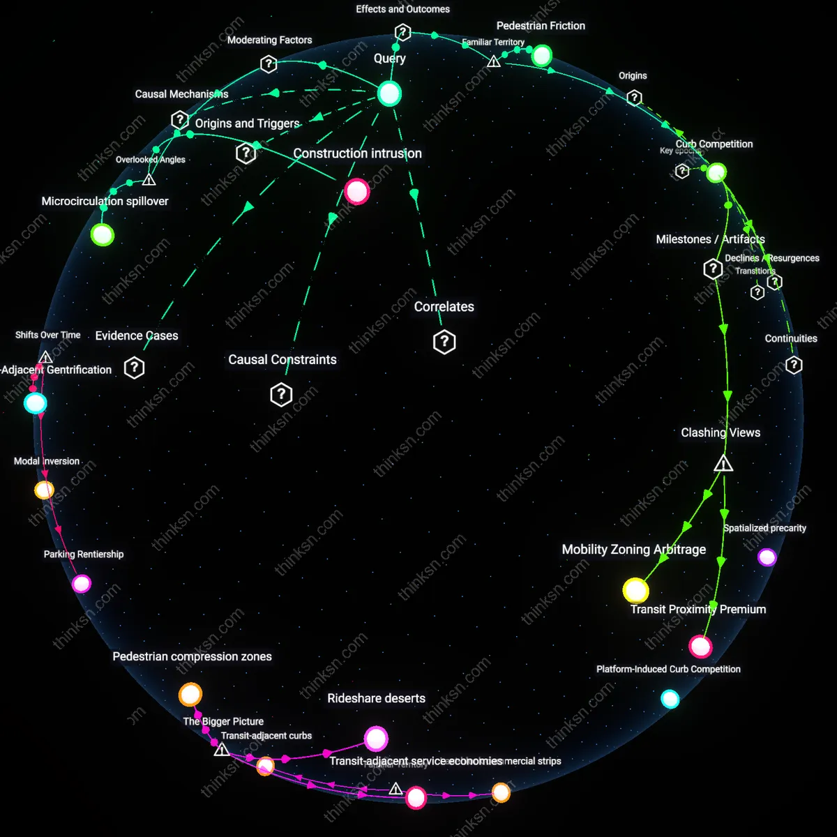
Construction intrusion
Increasing urban density near transit hubs worsens traffic congestion because phased, long-term construction of high-density developments creates recurring lane obstructions and temporary road reconfigurations that fragment traffic flow, even as overall car use declines. Unlike operational congestion, this form of delay is tied not to vehicle volume but to the temporally extended spatial occupation of public right-of-way by cranes, material staging, and worker access—conditions that are continuous across multi-year development cycles. This dynamic is routinely overlooked because transport models assume stable infrastructure geometry and treat construction as a temporary anomaly rather than a chronic feature of high-intensity development environments.
Microcirculation spillover
Higher urban density near transit hubs worsens local traffic congestion by generating a surge in short-distance, non-commute trips—such as delivery van stops, ride-hail pickups, and service vehicles—that compete for curb access and create queuing backlogs in surrounding low-capacity streets. These movements are not captured in macroscopic traffic counts focused on through-traffic or peak-directional flows, yet they systematically degrade intersection throughput due to prolonged idling and double-parking. This spillover effect is typically ignored in planning because it emerges from the mismatch between transit-oriented development’s intent and the unregulated demand for last-meter access by non-private vehicles.
Perimeter parking search
As dense housing and offices replace low-rise buildings near transit hubs, displaced off-street parking forces drivers to circle perimeter blocks outside the core redevelopment zone, creating a halo of cruising congestion that persists even as net car trips decline. This latent demand for informal parking is amplified by municipal policies that limit parking requirements in new developments without coordinating on-street availability or pricing in adjacent neighborhoods. The phenomenon remains invisible in standard congestion metrics because it shifts, rather than increases, vehicle-kilometers traveled, and is misattributed to general traffic rather than policy-driven spatial displacement.